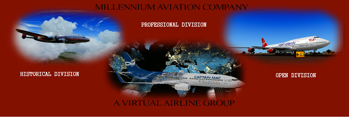


Tour Details
US GA Tour – Oklahoma, Part 1Description: Originally designated as Indian Territory for tribes relocated during the 1830’s Trail of Tears, settlers in 1889 would be allowed to take over land in the state that was unclaimed by Indian tribes. This explains why much of the state’s population has congregated within 2 massive metropolitan areas, Oklahoma City and Tulsa. With large patches of untouched land, Oklahoma has many parks and preserves available for people to hike and enjoy nature while observing native birds or large bison herds. Oklahoma is a part of Tornado Alley and the state gets struck at least 60 times a year. On the positive side, this year-round high wind occurrence has helped Oklahoma become one of the largest wind-energy producing states in the country. One of their largest wind farms covers 220,000 acres. This is a two-part tour and you must complete both parts before awarding of the completion badge. Remember many GA airports only use 3-digit designators. If you can’t find the listed airport in your sim, try dropping the “K” from the beginning. This tour was created by Steve K. (MAC0124) using FSX. Airport Codes Part 1, Leg 16, FSX users will need code Q44 for Beaver Municipal Apt instead of K44. Part 2, Leg 5, SkyVector shows Page Municipal Apt as KRCE. This code may be needed in newer sims. Division: Open Division bool(false) |  |
Return to MACAIR Tours Page
Tour Flights
| Leg: | Departure: | Arrival: | Flight: | Aircraft: | Distance: |
|---|---|---|---|---|---|
| 1 | Wiley Post Airport (KPWA) | Arrowhead Airport (K91F) | MACUSGAOK101 | GA LIGHT AIR | 102 nm |
| 2 | Arrowhead Airport (K91F) | Pauls Valley Municipal Airport (KPVJ) | MACUSGAOK102 | GA LIGHT AIR | 83 nm |
| 3 | Pauls Valley Municipal Airport (KPVJ) | Mc Alester Regional Airport (KMLC) | MACUSGAOK103 | GA LIGHT AIR | 72 nm |
| 4 | Mc Alester Regional Airport (KMLC) | Robert S Kerr Airport (KRKR) | MACUSGAOK104 | GA LIGHT AIR | 58 nm |
| 5 | Robert S Kerr Airport (KRKR) | Mc Curtain County Regional Airport (K4O4) | MACUSGAOK105 | GA LIGHT AIR | 68 nm |
| 6 | Mc Curtain County Regional Airport (K4O4) | Lake Texoma State Park Airport (KF31) | MACUSGAOK106 | GA LIGHT AIR | 89 nm |
| 7 | Lake Texoma State Park Airport (KF31) | Talihina Municipal Airport (6F1) | MACUSGAOK107 | GA LIGHT AIR | 89 nm |
| 8 | Talihina Municipal Airport (6F1) | Ardmore Municipal Airport (KADM) | MACUSGAOK108 | GA LIGHT AIR | 100 nm |
| 9 | Ardmore Municipal Airport (KADM) | Lawton Fort Sill Regional Airport (KLAW) | MACUSGAOK109 | GA LIGHT AIR | 71 nm |
| 10 | Lawton Fort Sill Regional Airport (KLAW) | Ardmore Downtown Executive Airport (K1F0) | MACUSGAOK110 | GA LIGHT AIR | 69 nm |
| 11 | Ardmore Downtown Executive Airport (K1F0) | Frederick Regional Airport (KFDR) | MACUSGAOK111 | GA LIGHT AIR | 93 nm |
| 12 | Frederick Regional Airport (KFDR) | Mignon Laird Municipal Airport (K93F) | MACUSGAOK112 | GA LIGHT AIR | 83 nm |
| 13 | Mignon Laird Municipal Airport (K93F) | Gage Airport (KGAG) | MACUSGAOK113 | GA LIGHT AIR | 42 nm |
| 14 | Gage Airport (KGAG) | Guymon Municipal Airport (KGUY) | MACUSGAOK114 | GA LIGHT AIR | 87 nm |
| 15 | Guymon Municipal Airport (KGUY) | Boise City Airport (K17K) | MACUSGAOK115 | GA LIGHT AIR | 49 nm |
| 16 | Boise City Airport (K17K) | Beaver Municipal Airport (KK44) | MACUSGAOK116 | GA LIGHT AIR | 96 nm |
| 17 | Beaver Municipal Airport (KK44) | Alva Regional Airport (KAVK) | MACUSGAOK117 | GA LIGHT AIR | 90 nm |
| 18 | Alva Regional Airport (KAVK) | Watonga Regional Airport (KJWG) | MACUSGAOK118 | GA LIGHT AIR | 56 nm |
| Total Distance Of Tour: 1395 nm | |||||
Pilot's Progress
Click * To View PIREP| START: KPWA | Leg: 1 To: K91F | Leg: 2 To: KPVJ | Leg: 3 To: KMLC | Leg: 4 To: KRKR | Leg: 5 To: K4O4 | Leg: 6 To: KF31 | Leg: 7 To: 6F1 | Leg: 8 To: KADM | Leg: 9 To: KLAW | Leg: 10 To: K1F0 | Leg: 11 To: KFDR | Leg: 12 To: K93F | Leg: 13 To: KGAG | Leg: 14 To: KGUY | Leg: 15 To: K17K | Leg: 16 To: KK44 | Leg: 17 To: KAVK | Leg: 18 To: KJWG | Complete | |
|---|---|---|---|---|---|---|---|---|---|---|---|---|---|---|---|---|---|---|---|---|
| 1 | Steve Kightlinger - MAC0124 | |||||||||||||||||||
| 2 | Gary Brooks - MAC0632 | * | * | * | * | * | * | * | * | * | * | * | * | * | * | * | * | * | * | Tour Completed |