

Tour Details
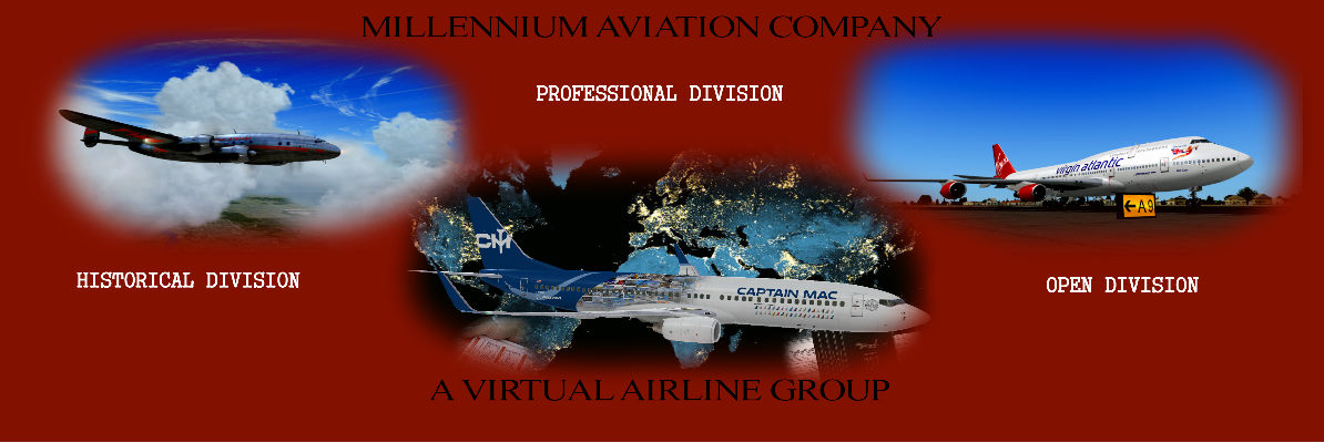
US GA Tour - OhioDescription: Hi flying in Ohio Ohio was named for the river, not the other way around. The Indian word Ohio means “good river” or “large creek”. Of all 50 states in the union, Ohio’s state flag is the only one that is not rectangular. During French and later British colonization Ohio prospered as fur traders with Europe. Ships could easily make their way in from the Atlantic down the St. Lawrence River into Lakes Ontario and Erie. Ohio’s significance in aviation stems from being the home to some of its great pioneers. Orville and Wilbur Wright were from Dayton (you’ll be flying into the airport named for them). John Glenn (first American to orbit the Earth) and Neil Armstrong (first man on the moon) were also from Ohio. Airport Codes Remember that many GA airports only use 3-digit designators. If you can’t find the listed airport in your sim, please drop the “K” at the beginning. This tour was created by Steve K. (MAC0124) using FSX. Division: Open Division bool(false) |  |
Return to MACAIR Tours Page
Tour Flights
| Leg: | Departure: | Arrival: | Flight: | Aircraft: | Distance: |
|---|---|---|---|---|---|
| 1 | Cincinnati West Airport (KI67) | Defiance Memorial Airport (KDFI) | MACUSGAOH101 | GA LIGHT AIR | 126 nm |
| 2 | Defiance Memorial Airport (KDFI) | Butler Co Regional Airport - Hogan Field (KHAO) | MACUSGAOH102 | GA LIGHT AIR | 118 nm |
| 3 | Butler Co Regional Airport - Hogan Field (KHAO) | Ohio University Snyder Field (KUNI) | MACUSGAOH103 | GA LIGHT AIR | 107 nm |
| 4 | Ohio University Snyder Field (KUNI) | Dayton-Wright Brothers Airport (KMGY) | MACUSGAOH104 | GA LIGHT AIR | 96 nm |
| 5 | Dayton-Wright Brothers Airport (KMGY) | Zanesville Municipal Airport (KZZV) | MACUSGAOH105 | GA LIGHT AIR | 110 nm |
| 6 | Zanesville Municipal Airport (KZZV) | Grimes Field (KI74) | MACUSGAOH106 | GA LIGHT AIR | 87 nm |
| 7 | Grimes Field (KI74) | Fulton County Airport (KUSE) | MACUSGAOH107 | GA LIGHT AIR | 90 nm |
| 8 | Fulton County Airport (KUSE) | Union County Airport (KMRT) | MACUSGAOH108 | GA LIGHT AIR | 90 nm |
| 9 | Union County Airport (KMRT) | Put In Bay Airport (3W2) | MACUSGAOH109 | GA LIGHT AIR | 88 nm |
| 10 | Put In Bay Airport (3W2) | Northeast Ohio Regional Airport (KHZY) | MACUSGAOH110 | GA LIGHT AIR | 96 nm |
| 11 | Northeast Ohio Regional Airport (KHZY) | Griffing Sandusky Airport (KSKY) | MACUSGAOH111 | GA LIGHT AIR | 93 nm |
| 12 | Griffing Sandusky Airport (KSKY) | Lansdowne Airport (K04G) | MACUSGAOH112 | GA LIGHT AIR | 97 nm |
| 13 | Lansdowne Airport (K04G) | Mansfield Lahm Regional Airport (KMFD) | MACUSGAOH113 | GA LIGHT AIR | 88 nm |
| 14 | Mansfield Lahm Regional Airport (KMFD) | Harrison County Airport (K8G6) | MACUSGAOH114 | GA LIGHT AIR | 77 nm |
| 15 | Harrison County Airport (K8G6) | Marion Municipal Airport (KMNN) | MACUSGAOH115 | GA LIGHT AIR | 97 nm |
| 16 | Marion Municipal Airport (KMNN) | Barnesville Bradfield Airport (K6G5) | MACUSGAOH116 | GA LIGHT AIR | 94 nm |
| 17 | Barnesville Bradfield Airport (K6G5) | Gallia Meigs Regional Airport (KGAS) | MACUSGAOH117 | GA LIGHT AIR | 83 nm |
| 18 | Gallia Meigs Regional Airport (KGAS) | Highland County Airport (KHOC) | MACUSGAOH118 | GA LIGHT AIR | 68 nm |
| 19 | Highland County Airport (KHOC) | Lawrence County Airpark (KHTW) | MACUSGAOH119 | GA LIGHT AIR | 67 nm |
| 20 | Lawrence County Airpark (KHTW) | Cincinnati Municipal Airport Lunken Field (KLUK) | MACUSGAOH120 | GA LIGHT AIR | 99 nm |
| Total Distance Of Tour: 1870 nm | |||||
Pilot's Progress
Click * To View PIREP| START: KI67 | Leg: 1 To: KDFI | Leg: 2 To: KHAO | Leg: 3 To: KUNI | Leg: 4 To: KMGY | Leg: 5 To: KZZV | Leg: 6 To: KI74 | Leg: 7 To: KUSE | Leg: 8 To: KMRT | Leg: 9 To: 3W2 | Leg: 10 To: KHZY | Leg: 11 To: KSKY | Leg: 12 To: K04G | Leg: 13 To: KMFD | Leg: 14 To: K8G6 | Leg: 15 To: KMNN | Leg: 16 To: K6G5 | Leg: 17 To: KGAS | Leg: 18 To: KHOC | Leg: 19 To: KHTW | Leg: 20 To: KLUK | Complete | |
|---|---|---|---|---|---|---|---|---|---|---|---|---|---|---|---|---|---|---|---|---|---|---|
| 1 | Gary Brooks - MAC0632 | * | * | * | * | * | * | * | * | * | * | * | * | * | * | * | * | * | * | * | * | Tour Completed |
| 2 | Steve Kightlinger - MAC0124 | |||||||||||||||||||||